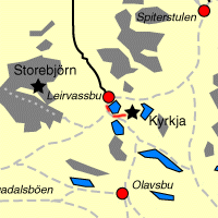
| Picture comment | | Picture (thumbnail) |
Picture 01b-4-92
Kyrkja in the fog. |   | 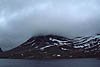 |
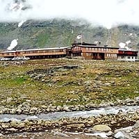
Picture 01b-4-93
The route began with an easy walk on a gravel road. | | 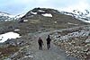 |
Picture 01b-4-94
Nearby Högvaglen. | | 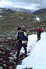 |
Picture 01b-4-95
Leirvatnet. | | 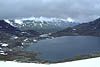 |
Picture 01b-4-96
The fog was thick. | | 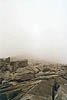 |
Picture 01b-4-97
We had company with some Norwegians. | | 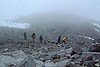 |
Picture 01b-4-98
Magnus is taking off some clothes before the hard hill to the top. | | 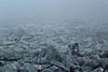 |
Picture 01b-4-99
Magnus is walking in the fog. | | 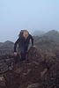 |
Picture 01b-4-100
It's safe to hold your mothers arms. Very impressing to meet such a young girl here who haven't even started school. | | 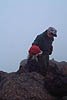 |
Picture 01b-4-101
Berra on the peak. | | 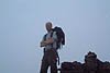 |
Picture 01b-4-102
Jonas on the peak. | | 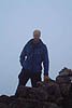 |
Picture 01b-4-103
Another classic group photo on top of Kyrkja. | | 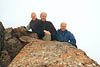 |